LRLMAN's Treasure Hunting!
Home of the Arc-Geo Logger Metal Detector Imaging System
EFNMR2015 Long Range Locator - First to use EFNMR Frequencies!

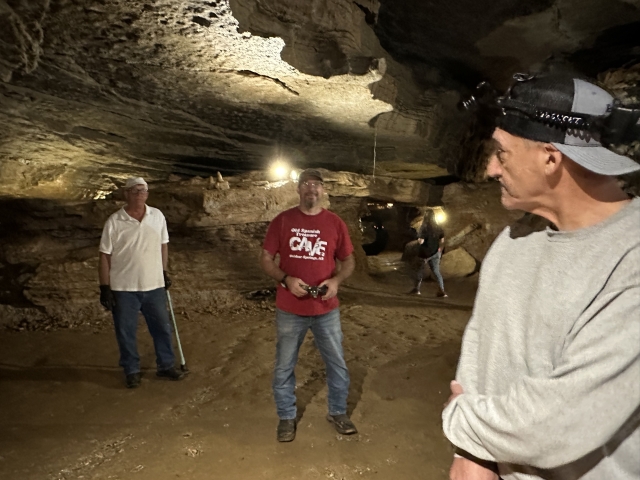
Paul, myself and Jim. Just want to say that the cave tour is very interesting and fun.
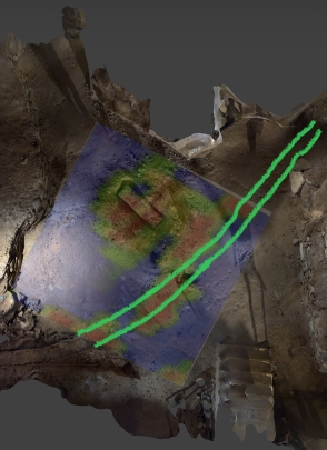
Here I used LIDAR to map the floor and sides of the area I was gridding. I overlaid the Map from the Arc-Geo Logger II that shows the tracks extending to the upper right tunnel.
I used the SPS mode "samples/second" high resolution mode with 5 SPS "Y" and 3 SPS "X".
The AGL II can log 5, 10, 15 SPS in "Y" and up to 4 SPS in "X".
The tracks in some sections appeared to be removed. But something else showed up and we did not know what it was.
You can see at the top left, a large anomaly. Because it was so large Paul decided to dig a test hole.
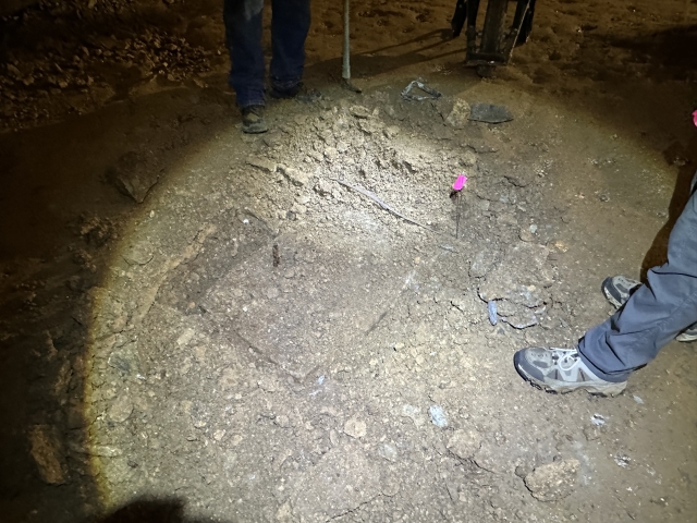
Funny thing was when we saw it was man made no one stopped digging!
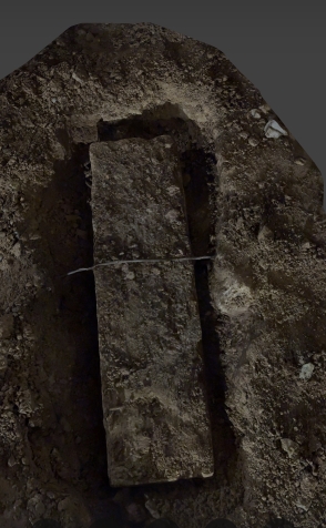
We discovered a cement block around 6'Lx24"Wx18"D. Very interesting indeed.
All in all it was a great trip and found what we were looking for plus something completely different.
Turns out this was the foundation for the hand switch for the track.
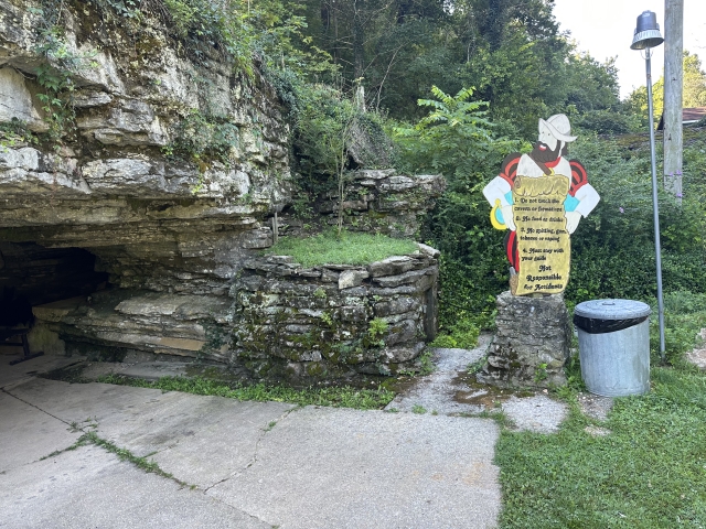
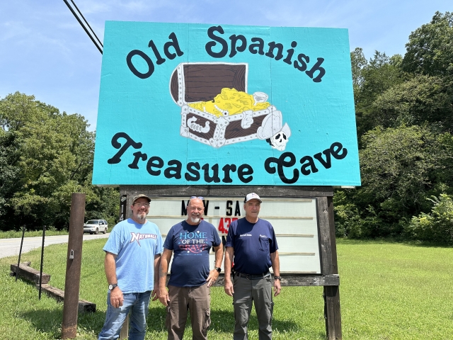
So if you are in the area pass by and check it out. History at it's best! Say hi to Paul and Tracy and tell them LRLMAN sent you.
I want to say thanks to Paul and Tracy for allowing me to test my new logger.
Stay safe!